Drones and Low-Earth Orbit Satellites: A New Frontier in Global Connectivity
- THE FLYING LIZARD

- Jun 3, 2025
- 4 min read
Updated: Jun 27, 2025

As the capabilities of drones continue to expand, so too does the demand for robust, reliable connectivity—particularly in remote, rural, or high-risk environments. One of the most transformative developments on the horizon is the integration of drone operations with Low-Earth Orbit (LEO) satellite networks, which promises to reshape how unmanned aerial vehicles (UAVs) communicate, navigate, and deliver data.
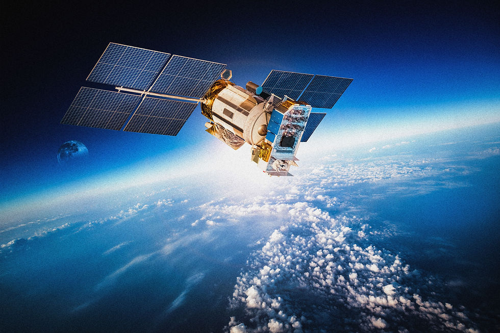
LEO satellites, typically operating at altitudes between 160 to 2,000 kilometers above Earth, orbit much closer than traditional geostationary satellites. This proximity offers several key advantages: lower latency, higher bandwidth, and more frequent revisit times—all crucial for real-time drone operations.
Why Traditional Communications Are Limited
Conventional drone communications rely heavily on ground-based infrastructure, such as cellular towers, line-of-sight radio signals, or Wi-Fi networks. While sufficient for short-range flights or urban operations, these systems quickly fall short in large-scale or remote deployments—such as pipeline inspections in deserts, emergency response in disaster zones, or logistics missions in the Arctic.
In these scenarios, loss of signal can compromise safety, mission success, or even regulatory compliance. Satellite integration addresses this gap by enabling persistent global connectivity—even far beyond cellular range.
How LEO Networks Enhance Drone Operations
Unlike geostationary satellites positioned over a fixed point on Earth, LEO satellites form constellations—networks of dozens or hundreds of satellites working together to ensure continuous global coverage. Companies such as SpaceX (Starlink), OneWeb, and Amazon (Project Kuiper) are deploying these constellations rapidly, with thousands of satellites already in orbit.
For drones, integration with these LEO systems enables several key benefits:
Beyond Visual Line of Sight (BVLOS) operations over long distances
Real-time telemetry and video feeds from any location on Earth
High-speed data uploads to the cloud without local infrastructure
Redundancy and safety in areas prone to communication blackouts
These benefits open the door to new use cases in agriculture, border security, environmental monitoring, logistics, and aerial surveying.
Technical Challenges and Considerations
Despite the potential, there are technical hurdles to integrating drones with LEO satellite systems. One challenge is the antenna technology required for two-way communication. Most drones are size- and weight-constrained, which limits the ability to carry traditional satellite communication equipment.
Emerging solutions involve flat-panel, phased-array antennas that are lightweight, power-efficient, and capable of maintaining stable connections with fast-moving satellites. These are still in early deployment stages, but rapid development is underway to make them viable for medium and even small UAV platforms.
Another issue is latency and switching between satellites. Since LEO satellites move across the sky in minutes, drones must continuously switch connections without interruption—a capability requiring advanced onboard networking protocols and satellite coordination.
LEO Satellites and Regulatory Implications
The ability for drones to operate globally via satellite networks raises questions about regulatory jurisdiction, airspace coordination, and data governance. For example, a drone operating in one country but routing its communications through a satellite in another may invoke overlapping legal frameworks.
Furthermore, BVLOS operations, while technically feasible with LEO integration, are still highly regulated in many countries. Aviation authorities will need to evaluate the reliability of satellite communications as a substitute for ground-based command and control systems.
As global standards emerge, LEO-enabled drones will likely require new certifications or operational risk assessments to meet airspace safety requirements.
Impact on Real-Time AI and Cloud Processing
Satellite connectivity can significantly enhance real-time AI processing by enabling drones to stream data to powerful cloud-based analytics platforms rather than relying solely on limited onboard computing. This allows for more advanced analysis, longer-duration missions, and continuous software updates while in flight.
For example, a drone inspecting critical infrastructure could send high-resolution imagery to a cloud-based AI system that detects corrosion, deformation, or foreign objects—then relay that information back to a ground team in seconds.
This architecture supports dynamic workflows where drones become "edge devices" in a larger Internet of Things (IoT) ecosystem.
Applications Poised for Growth
Industries that stand to benefit from LEO-satellite-connected drones include:
Oil & Gas – Pipeline monitoring over remote terrain
Disaster Response – Rapid situational awareness during hurricanes, earthquakes, or fires
Logistics – Autonomous drone deliveries in rural or offshore regions
Agriculture – Real-time crop health analysis across vast farmlands
Maritime – Monitoring and inspection far beyond cellular range
As coverage and hardware continue to improve, adoption across these sectors is expected to accelerate.
Cost Considerations and Market Accessibility
One of the main limitations today is cost. While LEO satellite bandwidth is decreasing in price, terminals and antennas remain expensive and are often only feasible for large drones or enterprise-grade operations.
However, as demand increases and hardware miniaturization progresses, costs are expected to drop, similar to what occurred in the consumer GPS and camera markets. Affordable satellite modules for commercial drones may reach the market in the next few years, enabling broader adoption even among smaller operators.
Looking Ahead
The convergence of LEO satellite networks and drones represents a major shift in unmanned aviation. By enabling persistent, global communication, this integration has the potential to eliminate geographic barriers that currently limit drone deployments.
As infrastructure matures, regulatory frameworks adapt, and hardware becomes more accessible, drones connected to the satellite web may become as common—and expected—as cellular-connected smartphones are today.
This next phase in drone evolution isn't just about flying farther. It's about flying smarter, safer, and everywhere.
THE FLYING LIZARD™
The world isn’t flat—and neither should your maps be.™


Comments