
♻️ Above the Cloud: The Untapped Power of Drone Data Recycling
- THE FLYING LIZARD

- May 6
- 3 min read

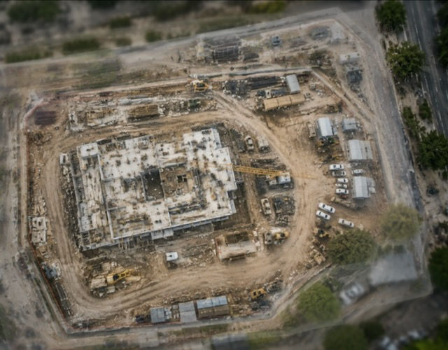
Drones don’t just leave behind broken wings or drained batteries when they reach the end of their service life—they leave behind something far more valuable: data. Terabytes of it. From high-resolution imagery to thermal maps, LiDAR sweeps, multispectral scans, and GPS breadcrumbs, drones are quietly amassing one of the richest libraries of environmental intelligence in human history.
The question is: What are we doing with it?
Where We Are Now: Data's One-Way Street
Today, the lifecycle of drone data tends to be short and siloed. Most drone missions follow a familiar pattern:
Capture data
Deliver insights
Archive or delete
Sometimes the data is stored securely for legal, compliance, or internal analysis—but rarely is it repurposed, shared, or made accessible to others. The vast majority of commercial drone data becomes “single-use intelligence,” even though the underlying information could offer value far beyond its original intent.
Why? Because the infrastructure and mindset for data recycling just doesn’t exist yet at scale. But it's coming.
What Makes Drone Data So Valuable
Unlike static datasets, drone data is:
Geospatially tagged (location-rich)
Time-sensitive (moment-in-time snapshots)
Multisensor (RGB, thermal, LiDAR, multispectral, etc.)
Repeatable (flights can be duplicated for change tracking)
This makes it uniquely powerful for:
Environmental monitoring
Urban planning
Infrastructure lifecycle studies
Disaster response
Agriculture trend forecasting
Security and compliance history
AI model training
So why throw all that away after one mission?
♻️ Data Collection as a Resource Loop
Instead of treating drone data as disposable, forward-thinking companies are beginning to see it as a renewable resource. Here's how the circular model is beginning to take shape:
1. Versioned Archiving
Older datasets are kept, not deleted, and indexed by location and sensor type. This allows historical comparison and change detection over time.
2. AI Training & Validation
Archived flight data is used to train AI models for object recognition, anomaly detection, and automation protocols. Example: old bridge scans train the AI to identify microfractures more efficiently on future missions.
3. Open Data Pools
Public missions—especially in agriculture, conservation, and infrastructure—are uploaded to open repositories. Think of it as "Wikipedia for drone data"—contributing to community projects, research, and public planning.
4. Second-Use Analysis
Data collected for one purpose is repurposed for another. Example: drone footage from a solar farm inspection is later used by climate researchers to study heat distribution patterns over time.
The Future: Building a Drone Data Economy
Imagine a world where:
Farmers lease drone data from nearby ag operations for crop benchmarking
Cities use multi-year drone archives to track urban sprawl or heat islands
Insurance companies compare pre- and post-disaster imagery before filing claims
Drone owners monetize unused footage through decentralized marketplaces
That’s the vision of the Drone Data Economy—and it's already starting to unfold.
Blockchain for Provenance
Drone data, once captured, can be time-stamped, location-stamped, and hashed to create an immutable chain of custody. This ensures authenticity for legal, regulatory, and commercial reuse.
Drone Data Marketplaces
Companies like UP42, OpenAerialMap, and even decentralized platforms are exploring the sale, trade, and licensing of drone data sets. Think of it like stock photography—but for machine vision.
Autonomous Offloading
Future drones could automatically upload their data into secure networks for AI parsing, tagging, and routing—completely hands-free.
Ethical, Legal & Spiritual Implications
With great data comes great responsibility. Who owns the drone data after the drone is retired? What happens to images of people, places, or events captured inadvertently? And how do we align all of this with a greater purpose?
If drones are becoming the eyes of our digital age, then data recycling isn’t just efficient—it’s ethical. Stewardship doesn’t stop at the hardware. It extends to the intelligence we extract from the world around us.
Final Thoughts: Turn the Data Wheel
“Don’t let your drone data die in silence. Let it speak again—across missions, industries, and futures.”
We recycle plastic. We recycle paper.
It’s time we start recycling perspective—and data is the new lens.
THE FLYING LIZARD®
Aviation-Driven Drone Intelligence™
Where People and Data Take Flight™


Comments